Geological Mapping of Idjwi Island, Lake Kivu: A missing piece of the puzzle between Rwanda and DRC

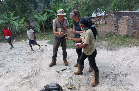
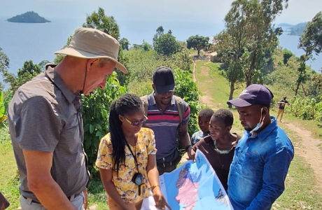
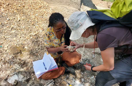
Last week, GeoRes4Dev student Evelyne Safari (University of Burundi, CNRS) was joined by Damien Delvaux and Anouk Borst to carry out fieldwork on Idjwi Island in Lake Kivu. The goal was to finalize a new geological map of the island, made by Evelyne during many years of observations and fieldwork.
Idjwi had not really been mapped in any detail: the previous geological map only had 3 colours and dates back to the nineteen-thirtees. As a consequence, it does not match our current knowledge on the Karagwe Ankole Belt from either side of Lake Kivu.
The team also took samples for age dating and petrological studies, which will allow us to link the geological units (granites, pegmatites, mafic rocks, metasediments, gneiss, marbles, basalts, etc) on Idjwi to those exposed in Rwanda and Eastern Congo, as part of Evelyne’s PhD studies.
Meanwhile, PhD student Franck Zahinda at University of Antwerp/UCB (CEGEMI - Centre of Expertise on Mining Governance), supervised by RMCA’s Bossissi Nkuba, who studies the origin and distribution of natural building materials (sand, gravel, rocks, bricks clay etc) and links to the local geology.